
Mt Campagao Ridge Trail
A scenic open-ridge traverse across the rolling hills of the countryside, offering sweeping panoramic views of Southern Cebu's mountains and coastline. The trail provides two possible exit routes: Cuanos or Manduang, both in Minglanilla.
Jump-Off & Commute Directions
Assembly & Breakfast
Tubod Basketball Court is a convenient assembly point for groups, with nearby sari-sari stores and a bakery offering bottled water, water refills, and breakfast options. It's a good place for hikers to gather and grab last-minute essentials before the hike.
Parking Rates & Space
Parking is available at Tubod Basketball Court, with additional but limited roadside parking space for motorcycles. Please park responsibly and avoid obstructing traffic or access roads.
Trail Notes & Refreshment Stops
Trail Photos & Scenic Spots
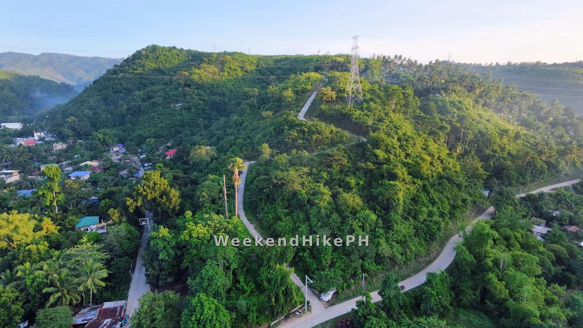
At the end of the uphill road, the trail opens to an elevated vantage point, offering a striking view of the surrounding mountains on either side and the coastline stretching into the distance behind you.
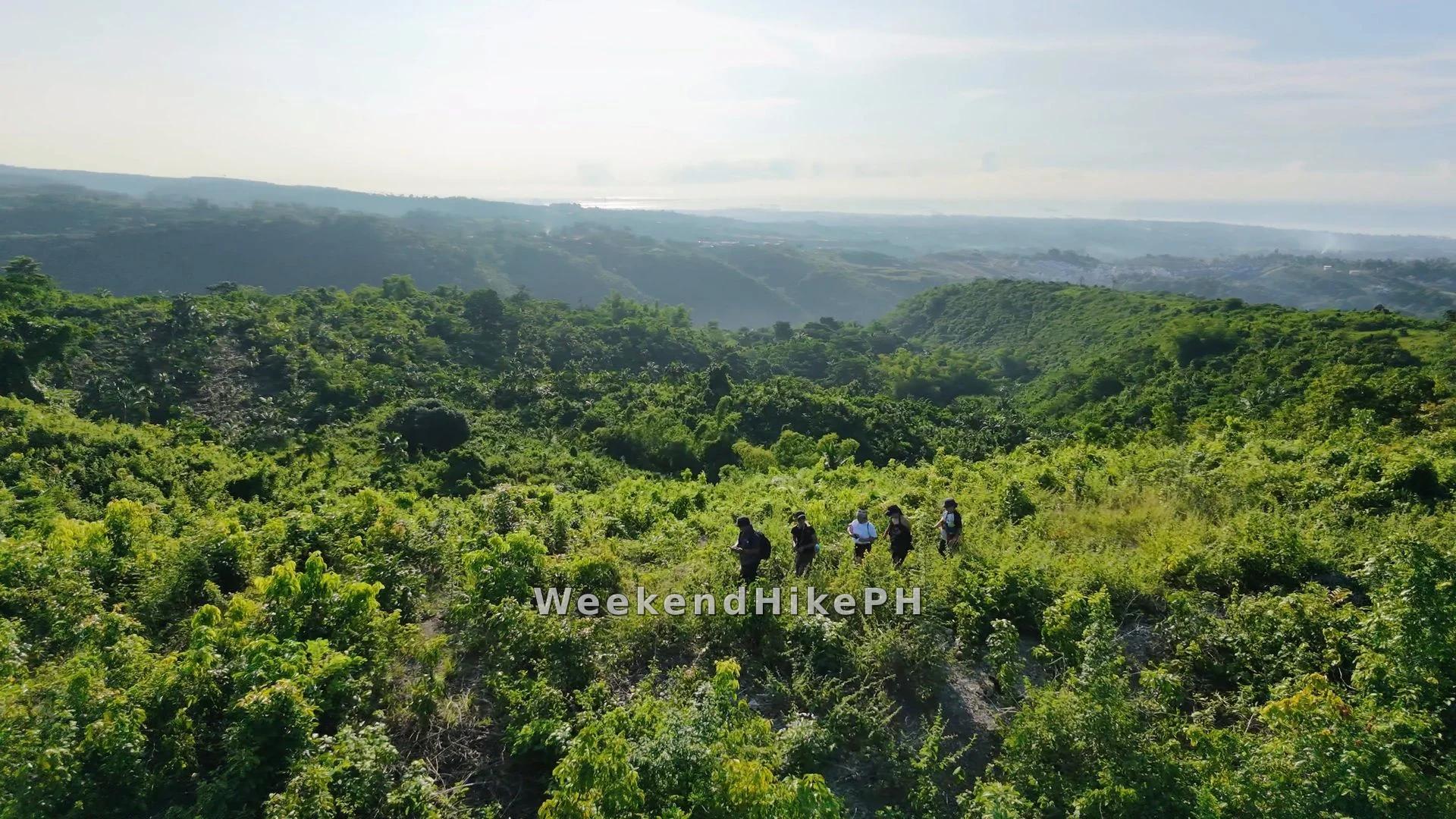
An elevated ridgeline trail offering sweeping views of the surrounding mountains on either side and the coastline stretching into the distance.
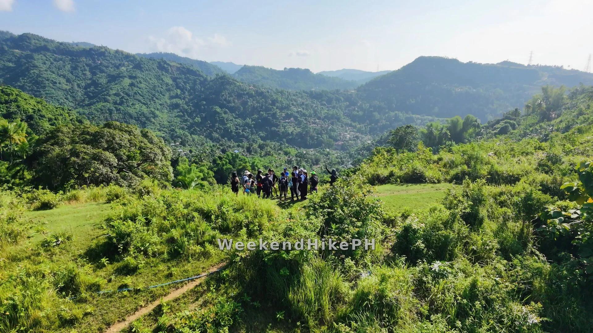
The Cuanos–Manduang Vantage Point Ridgeline Trail offers sweeping panoramic views of Barangay Cuanos to the north and Barangay Manduang to the south, framed by rolling ridges and the surrounding mountain ranges.
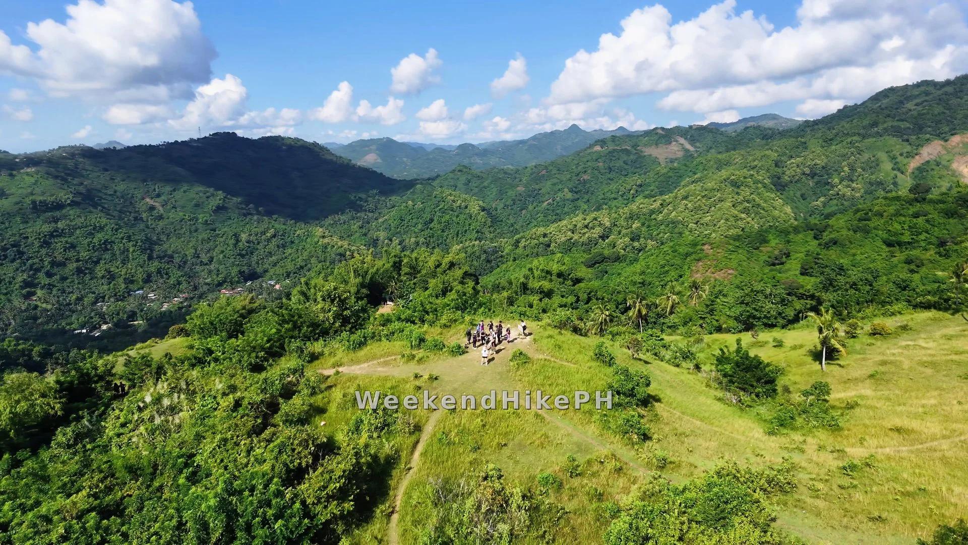
A scenic summit viewpoint offering the perfect spot for photo opportunities, with sweeping views of the surrounding mountain landscapes and the majestic Mt. Campagao Peak rising in the background.
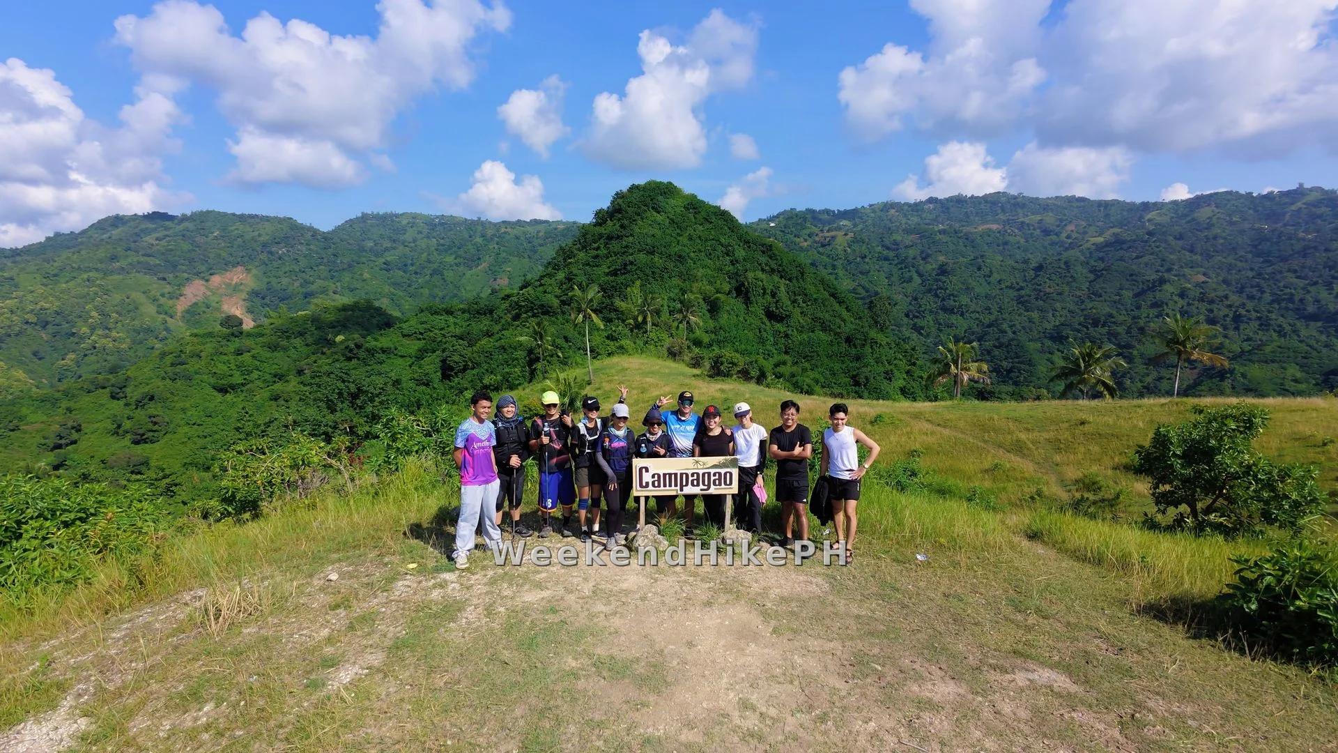
A perfect spot for photo opportunities, with majestic Mt. Campagao Peak rising in the background.
Self-Guided
Self-guided. Paths are well-worn and frequently shared with local cross-country mountain bikers and trail runners. No mandatory guide fees.
Trail Highlights
- Dual exit options descending into either Cuanos or Manduang
- Sweeping 360° coastal views of Naga, Minglanilla & Talisay
- Scenic open grass ridgeline with mountain breezes
- Rolling farm singletrack ideal for day hikes and trail runs
- Peaceful rural countryside trail close to Metro Cebu
Fly Over in 3D Animator
Explore elevation profiles, inspect GPS waypoints, and preview trail terrain with our cinematic 3D map engine.
Launch GPX StudioHiker Safety Reminder
Cebu mountain weather can change quickly. Check local forecasts, stay hydrated, wear grippy trail shoes, and download offline maps before setting out.