
Pitogo 2 Ridge and Hillside Trails Loop
A favorite local rolling ridge loop with panoramic views of the Minglanilla-Talisay mountains/hills, Cebu Strait and Southern coastline.
Jump-Off & Commute Directions
Assembly & Breakfast
Plaza Margarita has a Pan de Manila bakery open as early as 5:00 AM selling water, coffee, trail snacks, along with ATMs and convenience stores—ideal for group assembly.
Parking Rates & Space
Free customer parking available in front of Plaza Margarita commercial strip for motorcycles and cars. Inform guard if leaving vehicles for a morning hike.
Trail Notes & Refreshment Stops
Trail Photos & Scenic Spots
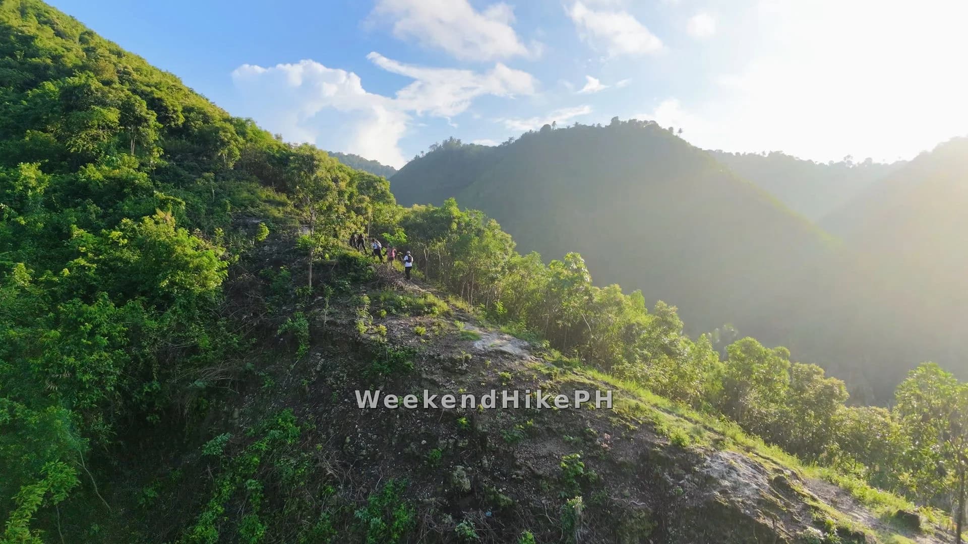
A scenic ridge traverse connecting Sandayong and Pitogo, winding through rolling hills and offering sweeping views overlooking the valleys of Minglanilla and Talisay.
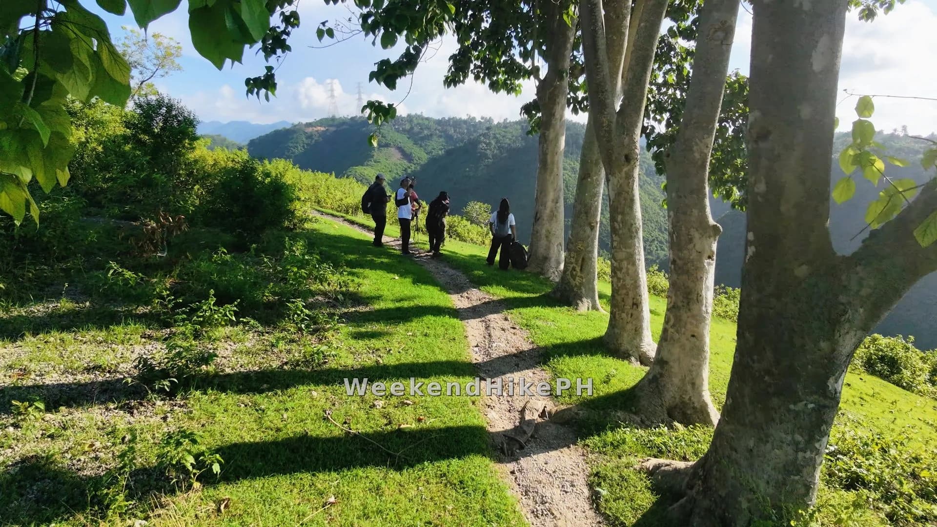
An iconic shaded resting spot beneath a sprawling Gmelina tree, set against an open grassy hillside with scenic views of the Talisay hills in the background.
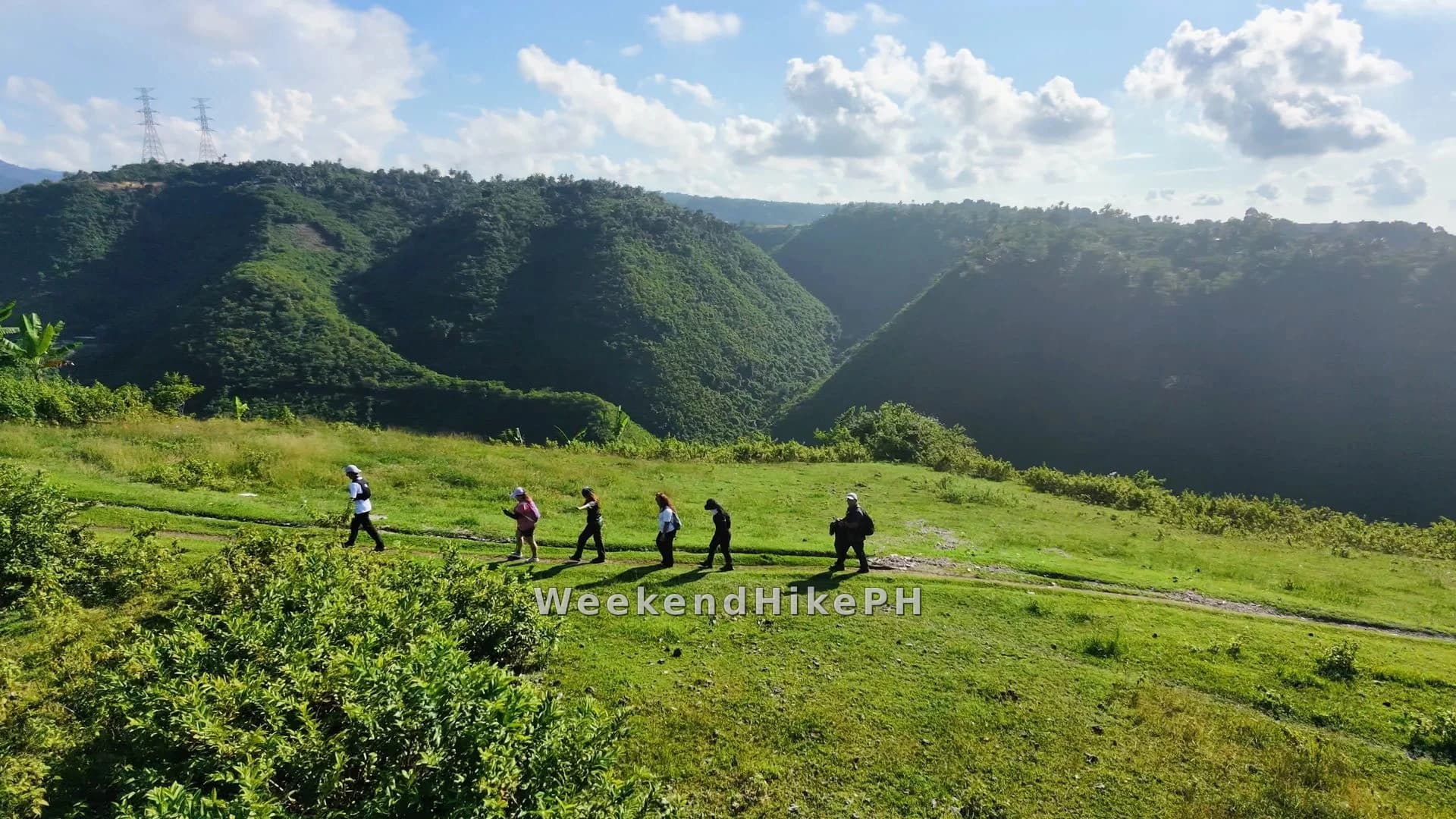
A spacious grassy hillside playground surrounded by the rolling hills of Talisay City, offering an open, refreshing setting with scenic mountain views.
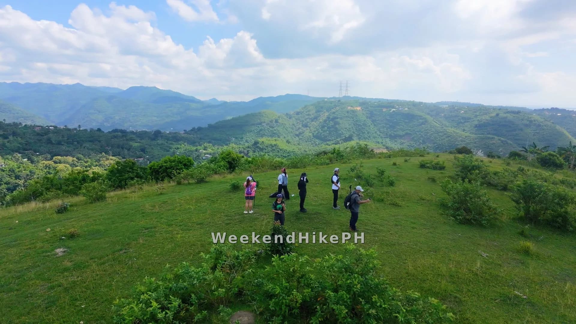
A scenic summit campsite offering sweeping 360-degree panoramic views of the Cebu Strait on one side and the surrounding mountain ranges stretching across the hinterlands on the other.
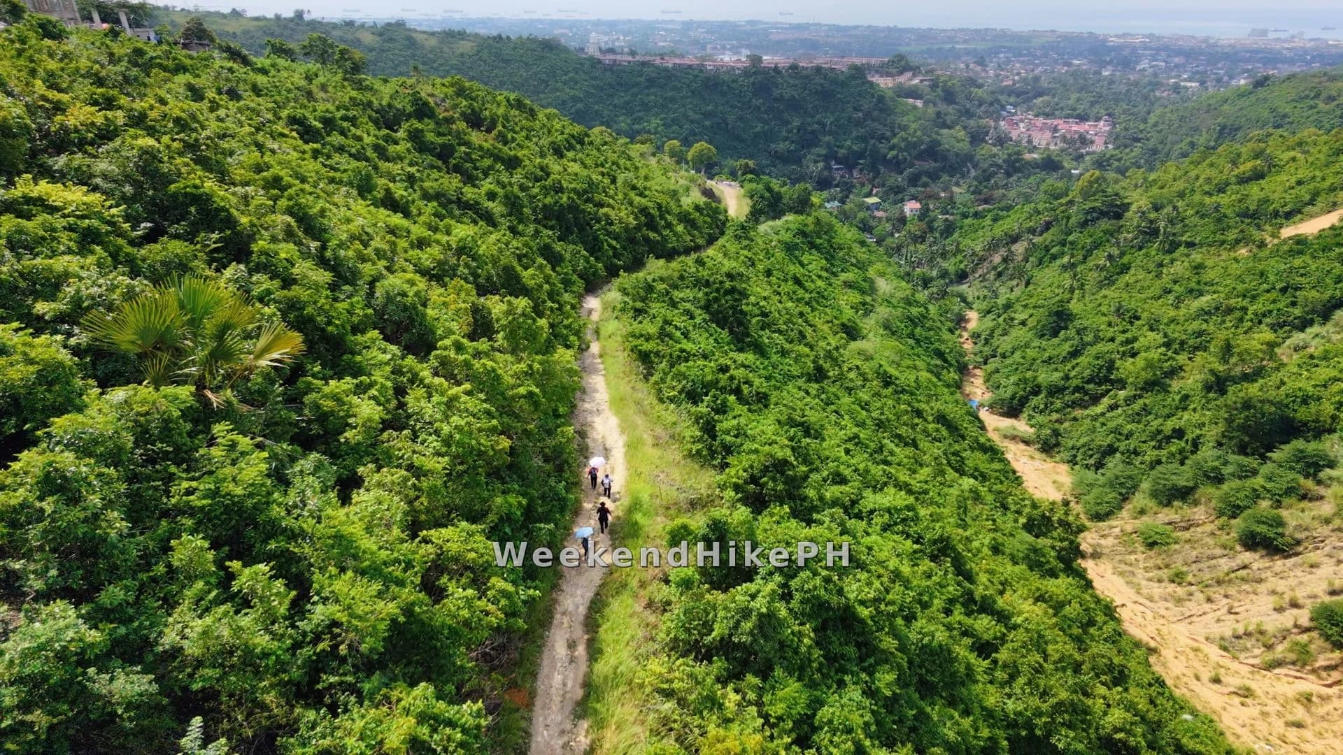
A long, rugged hillside trail connecting Pitogo 2 to Sandayong, featuring challenging terrain and elevated vantage points with sweeping views of the Cebu coastline.
Self-Guided
Self-guided. The trail is well-trodden and shared with local trail runners and XC mountain bikers. No mandatory registration or guide fee required.
Trail Highlights
- Scenic Sandayong / Pitogo ridge trail
- Summit campsite with 360° view of Minglanilla-Talisay mountains, Cebu Strait & coast
- Gmelina tree photo spot
- Grassy highland playground with panoramic view of Talisay hills
- Stores with ice water and refreshments along the trail
- Quick access from Metro Cebu
Fly Over in 3D Animator
Explore elevation profiles, inspect GPS waypoints, and preview trail terrain with our cinematic 3D map engine.
Launch GPX StudioHiker Safety Reminder
Cebu mountain weather can change quickly. Check local forecasts, stay hydrated, wear grippy trail shoes, and download offline maps before setting out.